 |
Environmental SatellitesNWA Remote Sensing Committee |
|---|
![]()
|
|
Environmental SatellitesNWA Remote Sensing Committee |
|---|
![]()
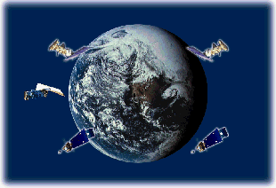
A network of geostationary and polar satellites provides global coverage of environmental conditions, and continuous updates of climatological variables such as cloud cover, vegetation, and sea surface temperature. In the United States, these satellites are operated by the National Environmental Satellite
Data, and Information Service (NESDIS). There are also a number of experimental scientific satellites operated by the National Aeronautics and Space Administration
(NASA), in cooperation with other U.S. agencies, or foreign governments, such as the Tropical Rainfall Measurement Mission (TRMM)). The U.S. Department of Defense
also operates polar-orbiting spacecraft, known as the Defense Meteorological Satellite Program (DMSP) to satisfy their mission requirements. The merger of NOAA's legacy POES, with NASA and DMSP polar satellite programs into the Joint Polar Satellite System (JPSS) is well underway. Resources that provide information on these various systems
are listed below:
Latest Launch Schedule (from Spaceflight Now)
NWA Letters of Support:
GOES-R Lightning Mapper (March 2004);
GOES Microwave Imager (March 2006)
Advanced GEO Sounder (Oct 2007);
QuickSCAT (Jan 2008)
![]() United States Satellites
United States Satellites
![]() Realtime Imagery and Products
Realtime Imagery and Products